
The strategy for temperature measurement and thermography:
The strategy for the measurement campaign within the framework of the U-CLIP project is defined as follows:
Three (3) outdoor measurement campaigns will be conducted in the period from April to May.
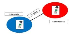
Each campaign will measure the temperatures at one-minute intervals throughout the day (7:30 am to 7:00 pm, niamey time). Ten (10) WBGT sensors will be deployed at different locations (location) in the city of Niamey, the sensors will be deployed in pairs, one next to the other at an approximate distance of 10 meters, one of which full sun and the other in shade specifically. The sensors will be placed on tripods with an approximate height of 1.5 meters.
It is important to ensure that the positions remain unchanged and that there is no sunshine or shade during the measurement period.
Make sure that in direct sunlight, the tripod is at a height of 1.5 meters
https://play.google.com/store/apps/details?id=eu.basicairdata.graziano.gpslogger&hl=en&gl=US
https://play.google.com/store/apps/details?id=net.sourceforge.opencamera&hl=en&gl=US
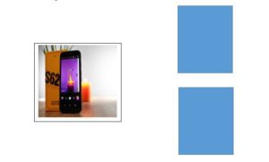
Each pair of sensors is associated with a CAT S62 Pro smart phone and this smart phone will be used to take the GPS location (longitude, latitude), photos and videos of the measurement locations. Then the thermal photos will be taken using the thermal camera of the smart phones.
An android geolocation application is installed on each smartphone.
Each smart phone will be registered just like the sensors. Each smart phone number XX1 will be associated with two sensors registered YY1 and YY2. In addition to the material registration, to compensate for measurement errors, the sensors will have a digital identification. To do this, the sensor registered YY1 will have the year 2001 in the configuration parameter and so on. Smartphones will be configured in a way that will identify the photos and videos taken.
Make sure that in direct sunlight, the tripod is at a height of 1.5 meters
https://play.google.com/store/apps/details?id=eu.basicairdata.graziano.gpslogger&hl=en&gl=US
https://play.google.com/store/apps/details?id=net.sourceforge.opencamera&hl=en&gl=US
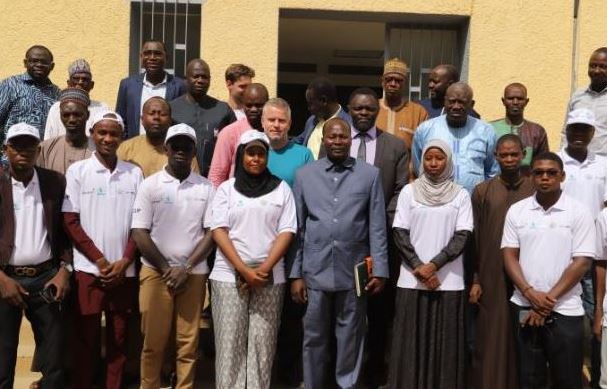
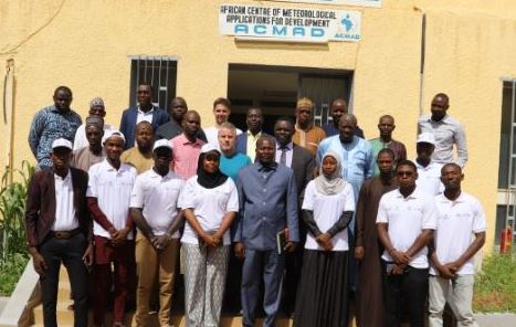
Below are some achievements in the field during the campaign:
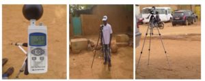
Those images are the realities in the field, practical of the theories with great results
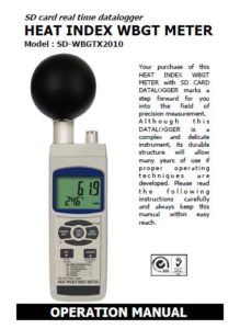
In addition, kindly visit this link below as WBGT manual guide:
![]()